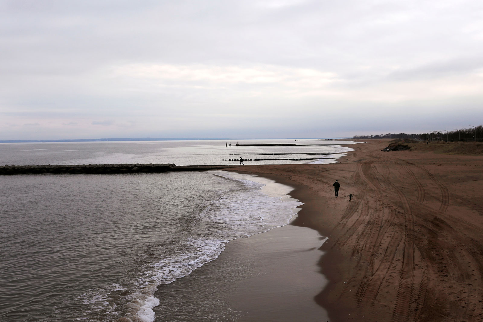
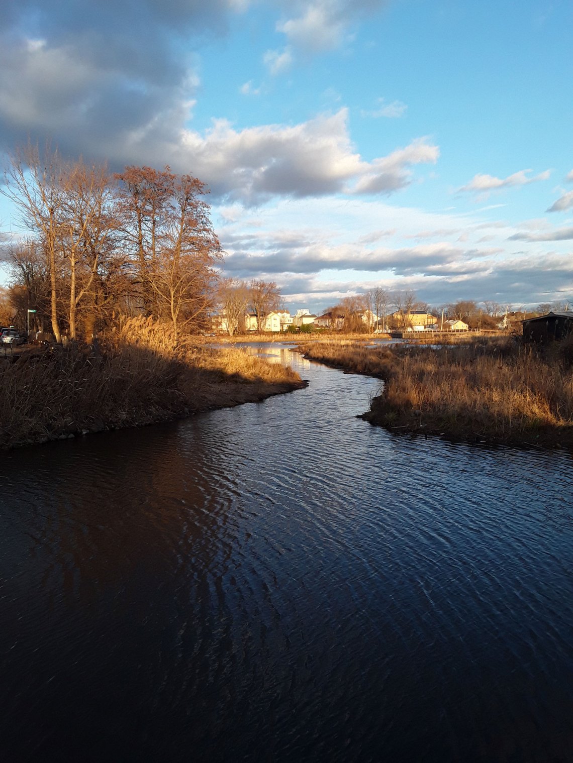
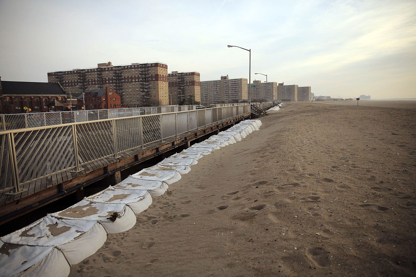
At November’s public hearing in Staten Island Technical High School, the prevailing mood could be expressed as, “Are you kidding me?” Democratic congressman Max Rose had called the meeting to allow constituents to offer feedback on a proposal to build a five-mile seawall along Staten Island’s East Shore. The borough is situated dangerously at the neck of a funnel of water created by New Jersey and Long Island, and was devastated by Hurricane Sandy, the East Shore in particular. Frustrated that little had been accomplished to protect the area seven years after the storm, residents were not optimistic about this newest attempt to stave off the encroaching sea.
“When’s the completion date—done, finished?” One man called out.
2025, promised Max Rose.
“Wanna bet?”
“This is a fantasy,” yelled one audience member later on. “You’re not going to get this thing built, you’ve got a crash barreling down on you like a Mack truck.”
The hostility in the room seemed to be masking fear. When asked what would happen if another storm struck before the wall was completed, the borough president, James Oddo, could suggest only good luck and prayers: “We are as vulnerable today as we were then.”
I spoke to Debbie Vadola, a long-time area resident, after the hearing. She, like most of the Staten Islanders I spoke to, said she “wasn’t sure how [she] felt about climate change,” but she was in favor of a seawall. Staten Island is famously New York’s most conservative borough, but when water starts encroaching, holding it back tends to be a point of bipartisan consensus. Vadola’s home had been severely damaged in Sandy, and she had seen the storm’s destruction firsthand.
“I saw the boats bring in the dead people,” she said.
*
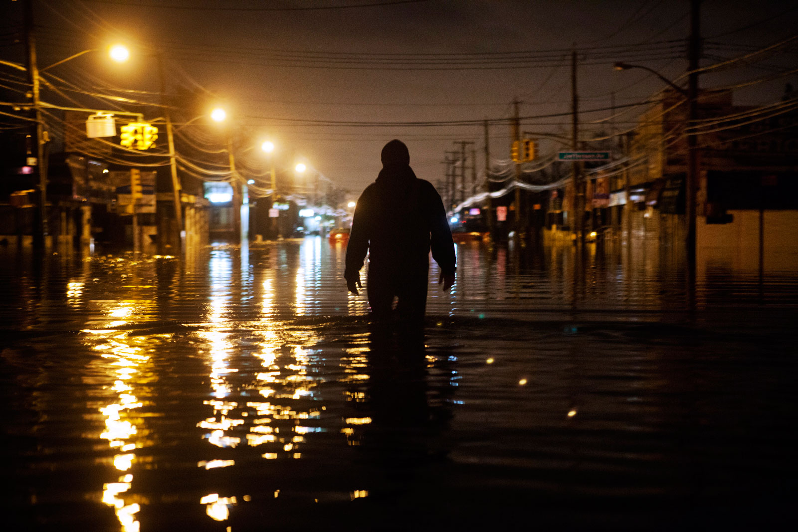
Hurricane Sandy—technically an 820-mile-wide superstorm by the time it made landfall near Atlantic City—was the second largest Atlantic storm ever recorded. It flooded 17 percent of the total landmass of New York City and killed forty-four New Yorkers, more than half of them in Staten Island. Lower Manhattan was plunged into darkness for several days when a transformer dramatically exploded. Seven subway tunnels under the East River flooded; 45 million gallons of water poured into the Battery Tunnel. But the city’s epicenter was soon back up and running, while working-class neighborhoods in the low-lying peripheries of the outer boroughs—the Rockaways, Breezy Point, Red Hook, Canarsie, Howard Beach—have taken years to recover.
Of the three major disasters in New York City in recent memory—September 11, Sandy, and now Covid-19—Sandy had the lowest death toll and is not generally understood to have ushered in a new chapter in the city’s history, as September 11 was and Covid-19 already is. But it was a harbinger of greater disasters to come. It is easy for climate change to be overshadowed by our current crisis, but the two are of a piece, both global crises stemming from our fraught interaction with the natural world. When any action on climate change seems so intractable, stymied by political gridlock or insistence that the economy must come first, it’s startling that such relatively swift and disruptive—if highly imperfect—measures to address Covid-19 have been taken in order to protect public wellbeing. The most obvious explanation for the differing responses to the two crises is that Covid-19’s devastation is more immediate and visible. In New York City, Sandy, as a tangible proxy for climate change, has had a similar mobilizing effect—it has been the motivating factor behind most of the city’s coastal preparedness plans, which, as a result, are farther along than similar efforts in most other American cities.
But, also like Covid-19, the storm revealed just how poorly suited our system is to absorb such a shock—and how unequally the effects are felt. So far, coastal planning has mostly revealed the dizzying complexity of addressing the effects of storms and sea-level rise on the varied neighborhoods along the city’s 520-mile coastline in a way that would be both effective and just. Nothing like a comprehensive strategy exists today, and when defense is carried out piecemeal, it invariably reproduces the city’s inequalities by protecting wealthy areas first. But even that is not yet true—today, no one is particularly well protected.
*
Sandy provided a reminder that New York is an island city, and the relationship between land and water is more dynamic and negotiable than it might appear when looking down at the East River from over a concrete embankment. Located in a hotspot of ecological diversity, a tidal estuary where the freshwater of the Hudson River mingles with the Atlantic Ocean, New York City was once marshy and laced with creeks and ponds. At high tide, the Lenape people could canoe across Manhattan from the East River to the Hudson; Times Square was a maple swamp at the confluence of two creeks dammed by beavers. The Lenape were pushed off of the land by the mid-1600s, first to Pennsylvania and then beyond, and some of this water was drained by the city’s early colonizers; Canal Street was once, in fact, a canal, designed to empty the 60-foot-deep spring-fed Collect Pond. The pond was almost entirely filled and was built over, but, still damp, it became the site of the dank, sinking buildings that made up the notorious Five Points slum. The fact that the MTA has to pump 13 million gallons of groundwater out of the subway daily to prevent tracks and tunnels from filling illustrates just how waterlogged the city is to this day; if it were to fail to do so because of power outages, the result would be extensive flooding.
Advertisement
The city’s very shoreline has been in flux for hundreds of years. Colonial governors began selling “water lots” to private owners as early as the 1760s, leading to the expansion of lower Manhattan from one to four blocks on each side through landfill. Creating valuable real estate while conveniently disposing of waste has been a favored practice throughout the city’s history. In 1905, the Department of Street Cleaning enthusiastically noted that “ecosystems of wetlands… afford an almost unlimited supply of dumping ground… The possibilities of land reclamation are almost boundless.” The result: the Battery, the World Trade Center, the Brooklyn Navy Yard, the Stuyvesant Town complex, Flushing Meadows Park, JFK and LaGuardia airports, and the FDR Drive, to name only a few examples.
However, Sandy proved that two can play at “land reclamation.” The storm inundated all of those places, and temporarily trimmed lower Manhattan back to a fairly close approximation of its shoreline in the 1600s. Landfill districts tend to be low-lying and vulnerable to flooding, in addition to destroying any marshes or beaches that could have protected inland areas.
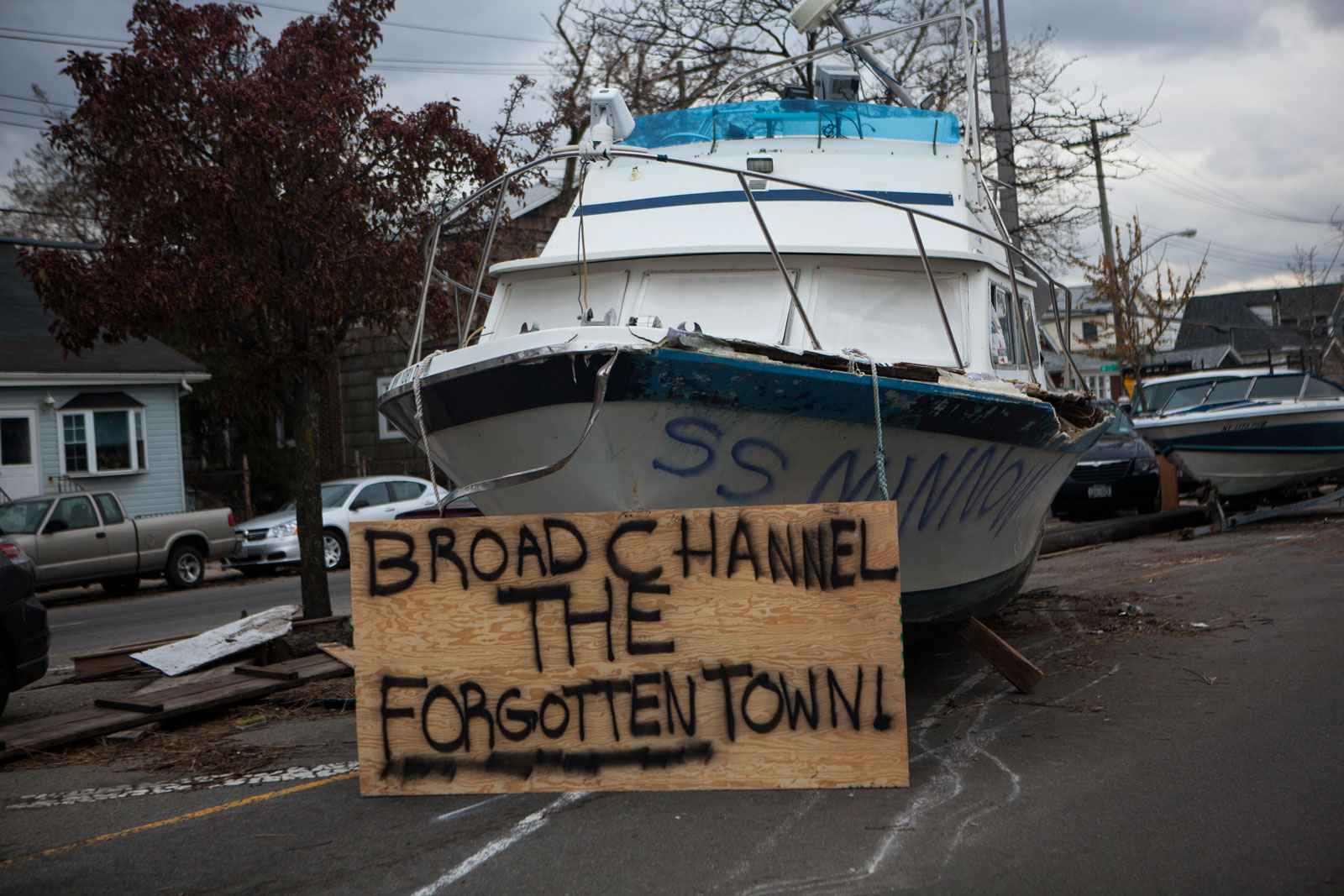
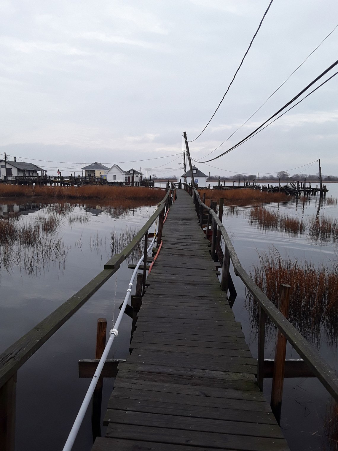
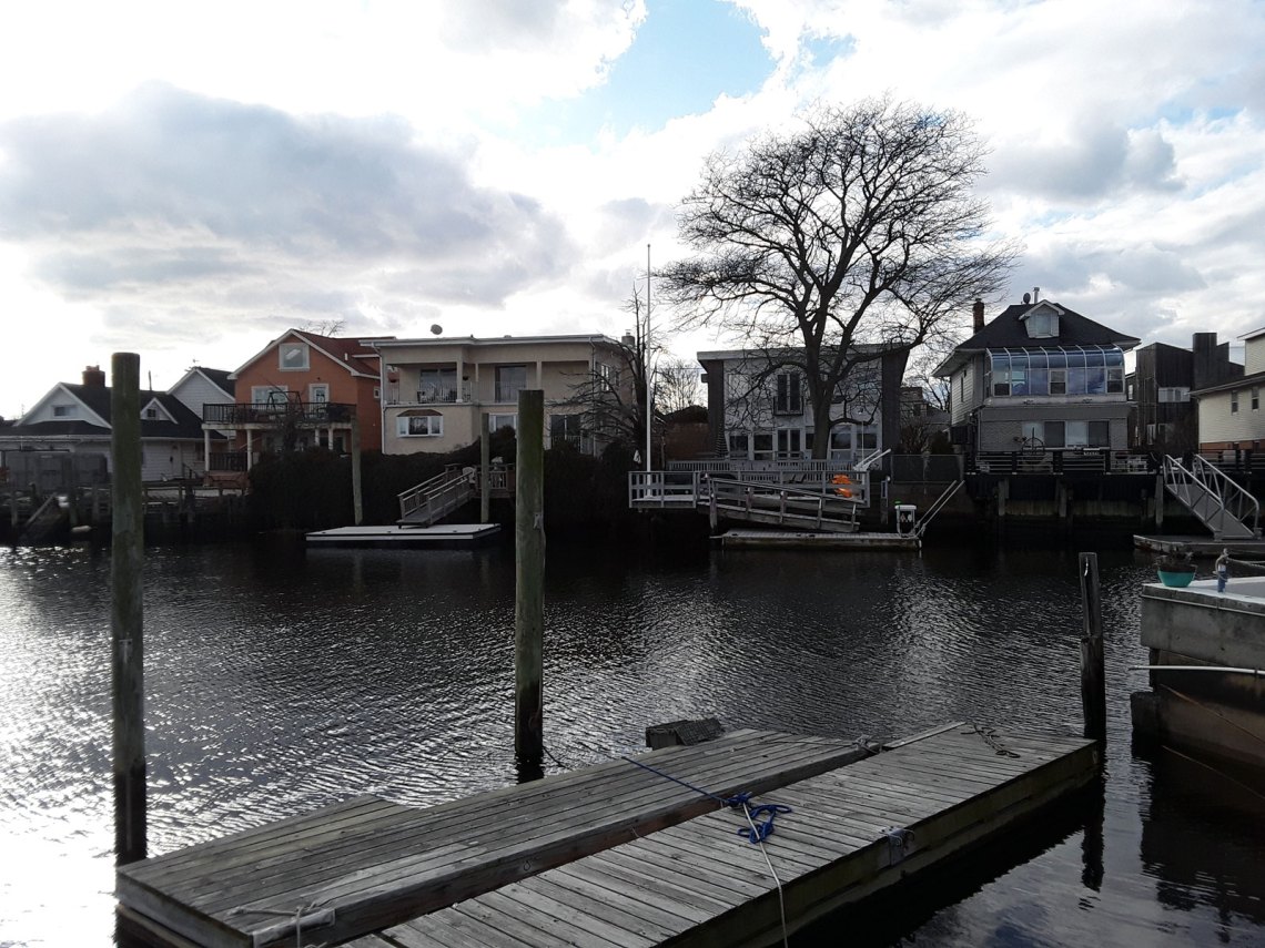
I only really understood what it means to build on wetlands when in January I visited Broad Channel, a working-class neighborhood of about 2,400 on an island in the middle of Jamaica Bay, connected to mainland Queens and the Rockaways by the Cross Bay Boulevard, which is built on dredged sand. From the street, you can be fooled into thinking you are in any quiet Queens neighborhood of snug, single-family homes, until you peek between houses and see they are all built along canals, with boats floating where the backyard should be. Broad Channel is one of the lowest-lying neighborhoods in New York, and the effects of sea-level rise are being felt now: the streets flood regularly every month around the full moon.
There is a strong argument that many of these marshy neighborhoods were never safe to begin with. On Staten Island, Midland Beach, one of the neighborhoods on the East Shore that will be protected by the proposed seawall, has struggled with flooding for years. Steve Zboinsky, a longtime resident whom I met at the sea wall town hall, adroitly rattled off a list of hurricanes that had hit Staten Island over the past century. He blamed the East Shore’s water problems not on climate change—“I consider that to be a liberal thing”—but on “inefficient thinking by city agencies,” which he saw as having failed to protect an area that had been repeatedly proved to be vulnerable. And yet, Zboinsky had resigned himself to flooding: “Sandy ruined my life for six years. We had to leave our house. So what, so what? We will come back to our home, and we’ll live again. What’s the big deal?”
It is true that many of the worst immediate effects of sea-level rise will be due to past failures of planning. These choices range from our enthusiasm for landfill to the city planner Robert Moses’s decision to silo the poor in huge housing projects on the Rockaways, a difficult-to-access barrier spit. The Red Hook Houses, Brooklyn’s largest public housing development, are also far from amenities and highly vulnerable to flooding; they were left without power and fresh water for months after Sandy. Much of it shunted off to the periphery, New York City’s public housing is disproportionately coastal.
Planners also have a penchant for putting critical infrastructure in coastal areas, both for aesthetic and practical reasons, as Orrin and Keith Pilkey note in their 2019 book Sea Level Rise. Nearly half of New York City’s electricity comes from aging facilities along the coast in flood-prone Long Island City and Astoria. Wastewater treatment plants, too, are built by design in low-lying coastal areas, and poured 1.6 billion gallons of raw and partly treated sewage into New York City’s waterways during Sandy. Half of the city’s meat and fish and 60 percent of its produce passes through The Hunts Point Food Distribution Center, a wholesale market in the South Bronx, the poorest congressional district in the nation. Hunt’s Point is a peninsula, and for that reason alone, the city predicts that storm surge will be a “major risk” to food supply by 2050. It was merely a happy accident of the tides, which are different in the Long Island Sound from those in New York Harbor, that the market wasn’t damaged in Sandy. Covid-19 has brought renewed attention to Hunts Point’s importance—essential workers keep the market running, though the Bronx has the highest rate of infection of any borough. Without the food distribution center, one salesman and buyer quoted in the New Yorker noted, “the New York City and greater New York metropolitan-area food supply would be paralyzed.”
Advertisement
*
Of course, while Sandy proved that all of these places are already vulnerable, they will become radically more so with the predicted increase in sea-level rise and stronger storms. According to FEMA’s projections, by 2050 more New Yorkers will be living in a one-hundred-year floodplain—a much misunderstood term referring to an area with a 1% annual chance of flooding—than residents of any other US city will. Just how bad will it be? Predicting sea-level rise is a complicated and uncertain affair, having to take into account “oceanographic changes (thermal expansion, dynamic ocean height), ice mass losses with associated gravitational and glacial isostatic adjustments, and anthropogenic land water storage change,” according to the New York Panel on Climate Change’s 2019 report, not to mention the enormous uncertainty of the degree to which we will, or won’t, be able to curb emissions.
This leads to a wide range of possible outcomes. In making flood maps for planning, the city is relying on a high estimate of 2.5 ft of sea-level rise by the 2050s and 6.5 ft by 2100—a bad-case scenario, but not even worst-case. With 6.5 ft of flooding, the fringes of Lower Manhattan and the South Bronx, sections of the North and East Shores of Staten Island, parts of Canarsie, and almost all of Brighton Beach, Broad Channel, Howard Beach, and the Rockaways would be inundated at high tide. And that’s just on a regular day. When looking at a map of the floodplain for a storm of a roughly Sandy-sized level of sea-level rise, the city takes on a different shape. Every neighborhood around Jamaica Bay goes completely under water, big chunks of Staten Island are lost on its northwest and east sides, and parts of the Bronx, Queens, and Lower Manhattan turn into islands.
This is enough to keep any city planner (or resident) up at night, but, according to the Pilkeys in Sea Level Rise, some of these problems can be mitigated in a way not possible in other cities. New York City has areas of relatively high elevation and is built on solid rock that makes it possible to defend with seawalls, unlike Miami, which is built on porous limestone through which water simply seeps up.
Projects to combat the effects of sea-level rise can be placed on a spectrum from “hard” to “soft.” Hard barriers are engineered to physically repel water, while soft engineering seeks to restore or mimic the natural defensive properties of ecosystems. As the microcosm of Staten Island makes clear, the city has reached no consensus on whether it favors hard or soft solutions.
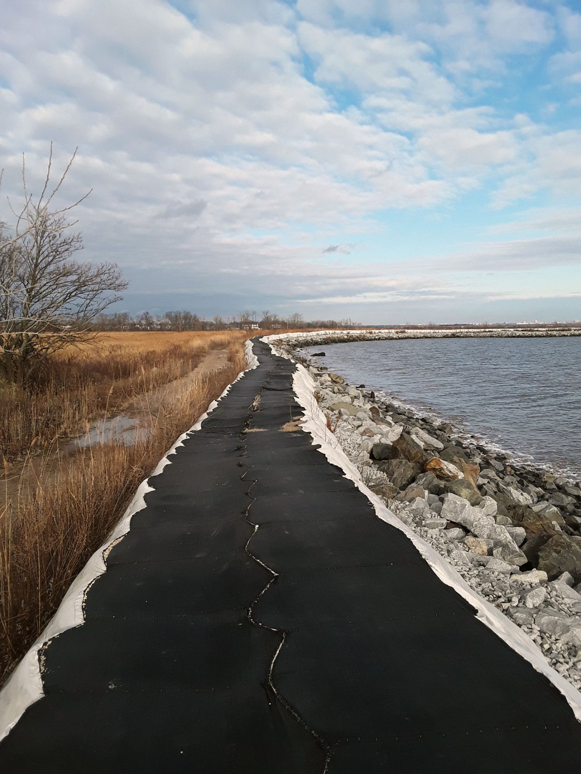
On the hard end, there is the proposed seawall along the East Shore, expected to cost $615 million. It is intended to be a long-term fix, but there is good reason to be skeptical. Seawalls cause erosion, destroying beaches in a matter of years, and they encourage continued development in dangerous areas. This makes the coast even more vulnerable if the wall fails—not an unlikely prospect when predictions about the effects of climate change have been consistently outstripped in reality, and essentially no predictions extend beyond 2100, a date that many people alive today will live to see.
A more natural barrier, already in progress, is the Living Breakwaters project off of the South Shore, an attempt to absorb storm surge by building oyster reefs off the coast (oysters were once a critical element of the ecosystem and economy of the New York Harbor region). Another soft project is the Bluebelt, a system of creeks, catchment basins, and wetlands built weaving through Staten Island neighborhoods, to take pressure off of the borough’s fragile and insufficient sewer system. Residents walk their dogs along its landscaped pathways past flocks of waterbirds.
Both Living Breakwaters and the Bluebelt point to a way for New York to coexist with rising water rather than ignoring it, but neither project is on a scale to provide a comprehensive solution to the problem of flooding in the area. The safest and most effective response to sea-level rise, as Emily Raboteau has argued in these pages, is simply a managed retreat from the coasts. This strategy proved effective in Staten Island’s Oakwood Beach, another marshy neighborhood on the East Shore that had struggled with flooding for years. After Sandy, residents organized to petition Governor Andrew Cuomo to use FEMA and HUD grant money to buy out their homes at pre-storm prices rather than rebuilding, and in 2013 he agreed. Today, a trip to Oakwood Beach feels like a trip to one possible future for New York City.
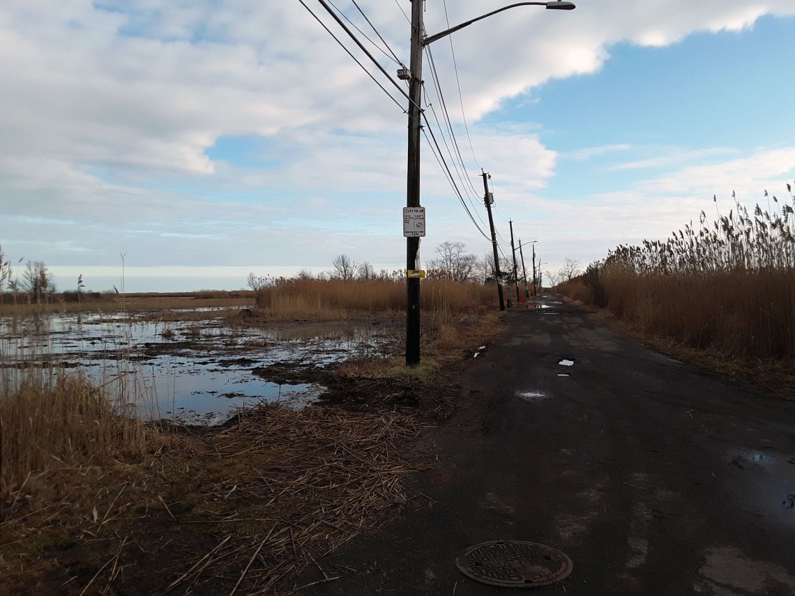
When I visited on a clear-skied day in December, the streets were filled with shallow pools of water. There are a few houses still standing farther away from the shore—the buyout wasn’t mandatory, and several families chose to remain—but large swaths of land hold nothing now but forests of phragmites, the ubiquitous invasive marsh reed, waving their purple tails far above head height. On Kissam Avenue, fire hydrants jut crookedly out of the ground, and driveways lead to nothing but ponds. Each lot is marked off-limits by a small piece of orange plastic fencing and a note from the Governor’s Office of Storm Recovery that forbids trespassing; the ducks don’t seem to have noticed.
Oakwood Beach is one of the few places in the country where managed retreat of a near-entire community has been carried out. It is often cited in books and articles about sea-level rise as a success story, yet retreat remains uncommon, even in New York. Eight other neighborhoods on Staten Island organized buyout committees, but only two others were granted funding before the rest were told that there would be no more such programs. Instead, the state would put more funding into a city initiative called “Build it Back,” a project initially proposed by Mayor Bloomberg by which properties are bought out individually rather than in bulk, and the land can be redeveloped instead of left open.
“These are valuable properties,” said Bloomberg’s city housing recovery director at a committee hearing on Build it Back in 2013. “There is a limited amount of coastline properties.”
*
There are many projects to address flooding, and many more resiliency reports, but little cohesion among them. No one agency handles flooding in New York, nor is there a centralized resiliency funding structure. Instead, there is a complicated nexus of city, state, and federal bureaucracies—including the Mayor’s Office of Resiliency, the Governor’s Office of Storm Recovery, the Army Corps of Engineers, the US Department of Housing and Urban Development, FEMA—that dole out money on a project-by-project basis.
Local projects for both hard and soft barriers are being carried out simultaneously. The Army Corps of Engineers had, until recently, been developing five citywide proposals to protect New York from storm surge, the most expensive of which was a $119 billion gated barrier stretching from the Rockaways to New Jersey that would essentially seal New York Harbor off from the ocean in the event of a storm. Critics argued that continued sea rise would eventually render the barrier obsolete, while, in the meantime, it would trap toxins in the harbor and degrade New York’s waterways.
Though the wall had a Trumpian logic to it—a blunt, physical solution to a complex and evolving situation—the president denigrated the sea wall project on Twitter in January, following a feature about the plan on the front page of the New York Times: “a costly, foolish & environmentally unfriendly idea that, when needed, probably won’t work anyway. It will also look terrible. Sorry, you’ll just have to get your mops & buckets ready!” Less than two months later, funding for the entire Army Corps study, which had so far taken millions of dollars and three years’ worth of work and included several more reasonable proposals, was abruptly rescinded by the federal government. The ease with which billions of dollars of potential investment in preparing the city’s coasts could be axed on a whim even before the pandemic does not inspire confidence that projects will receive consistent funding in a time of austerity.
Beyond a huge barrier, most of the large-scale, high-cost plans to address flooding in New York City have focused on Lower Manhattan, leaving the government dogged by accusations that it values Manhattanites—and the financial district—more than those living in the outer boroughs. Mayor Bill de Blasio announced a plan last year to protect Lower Manhattan that involves building grassy berms and removable hard barriers, but also extending the area around Wall Street and South Street Seaport up to two city blocks into the water through landfill, a project that will cost around $10 billion.
All historical precedent suggests this is a misguided strategy, but it is difficult to argue with the premise that Lower Manhattan is too big to fail. It is home to one in ten jobs in New York, and almost all subway lines pass through the area. But this is exactly the problem: the uneven development of the city will only be exacerbated when it comes time to decide where to save.
In Canarsie, homeowners struggling with mortgages after the area was particularly targeted by predatory lenders during the financial crisis will have to begin paying high flood insurance premiums. This will increase the already high rates of foreclosures and cause displacement before floodwaters even hit, unless the city is able to intercede. (The city administration is currently contesting federal flood maps that would require flood insurance for many previously uncovered homeowners, but the bureaucratic tangle simply means that homes in a flood zone remain uninsured.)
The argument runs that we will be able to find $10 billion to protect Lower Manhattan but not to buy out overburdened homeowners in outer boroughs because the landfill project will be financed by allowing developers to build on the new land. While this may be true as the system currently stands, it is an excellent example of what Ashley Dawson, author of Extreme Cities, a 2017 book on the effects of climate change in New York City and a professor at CUNY Staten Island, referred to as “living in the real estate state.”
“My sense is that throughout New York City there really isn’t any kind of coherence to efforts to address climate change,” Dawson told me when we spoke by phone. “A lot of what is being done is being driven by developers rather than by any kind of rational assessment of threats.” He pointed to the luxury developments of Hudson Yards and Industry City, both in flood zones, or Cuomo’s decision to grant $20 million of state money to protect a new mall being built by private developers on the formerly industrial North Shore of Staten Island from flooding.
*
While many American cities remain in denial about the threats to their coasts, New York deserves credit for admitting the scale of the problem and taking some steps to address it, however imperfectly. As the recovery from Covid-19 offers the potential to reevaluate some of the inequities in our healthcare system and labor laws, preparing our coasts has the potential to combat the unequally distributed effects of a warming climate—if, that is, we approach the task with that aim, rather than to safeguard centers of power and wealth. Moving or protecting our infrastructure and public housing would be one important step in the right direction. Finding funding for managed retreat to help residents leave dangerous areas would be another. Dawson suggests that local community members should be consulted more closely about the needs of their neighborhoods throughout the planning process for flood mitigation.
Improving coastal resilience, though, is only ever a harm-reduction measure even if perfectly applied. It is not a solution, and cannot be considered separately from a full-throttle effort to curb carbon emissions. In its most recent 2019 report, the NYPCC added an “Antarctic Rapid Ice Melt” scenario to their projections for sea-level rise, which the authors describe as a “physically plausible upper-end, low probability” outcome of 9.5 ft by 2100 under high-emission conditions. With that degree of sea-level rise, daily tidal flooding could be more severe than Sandy’s storm surge, and none of the currently proposed projects will have any efficacy. Emissions are on track to decline 8% this year due to Covid-19, but experts warn against viewing the epidemic as a panacea—according to the UN, they would need to continue declining at that rate every year until 2030 if we want to remain under 2 degrees Celsius of warming. Not to mention that a warmer climate is expected to facilitate the spread of infectious diseases, as well as lead to the emergence of new viruses.
Today, nearly a decade after Sandy, the city is far from protected from even an equivalent storm, casting serious doubt on our ability to respond quickly to a cascade of increasingly intense and damaging events. The strain Covid-19 has placed on our financial and logistical resources makes it apparent how each disaster leaves us less able to cope with the next when they arrive in quick succession. What would happen if another Sandy struck tomorrow? Three months into the pandemic, in West Bengal and Bangladesh, often referred to as “ground zero for climate change,” Cyclone Amphan demonstrated the devastation caused by overlapping crises, as fears of infection in crowded shelters hindered evacuation efforts before the storm.
In the shorter term, sea-level rise is not even the most dangerous effect of warming in the city. As Dawson points out, the highest number of fatalities is expected to come from heat waves, which are especially deadly for older, low-income people, who often do not have air-conditioning. During last summer’s weeklong 90-degree heat wave, ConEd deliberately shut off power to 33,000 customers in South Brooklyn, in many of the same working-class communities that will be affected first by sea level rise, ostensibly to prevent a more serious blackout as systems in the area started to fail. The prospect of a Covid-19 summer—a summer again expected to be the hottest on record, during which no one will be able to take refuge in public pools or air-conditioned libraries—is terrifying.
It is easy to think of New York as more of a concept, an easily traversable, cosmopolitan hub, than a place, a part of the natural world. We ignore the city’s physical geography at our own risk. Covid-19, as well as the renewed attention to police brutality against black people by the NYPD, has clarified that our health and lifespan is tied to a zip code. Climate change will make the consequences of the environmental history of the land, of both overdevelopment and neglect of the coasts, of environmental racism and displacement, and of our economic and cultural reliance on our coasts and waterways terribly apparent as the city’s water returns like a recovered memory.
During the current litany of loss, it is difficult to make room for more. But it is important to acknowledge the communities that are already being lost to sea level rise. The first to be seriously affected are mostly working-class enclaves of immigrants, municipal workers, and public housing residents, far from the city’s center. Their homes are on islands and peninsulas and points with a strong local culture and, in many cases, a close relationship with the water. Retreat, while necessary, will involve painful dislocations.
For now, Broad Channel retains a remarkably high percentage of its residents. Nearly half of the thirty-four- to forty-year-olds there grew up in the neighborhood, compared to an average of 20 percent for that demographic group citywide. This year, the annual Easter egg hunt was cancelled, but a representative of the Broad Channel Athletic Club dressed up in a hare costume and was driven around the neighborhood in the back of a flatbed truck for a two-hour tour. It is that sort of community spirit that Geraldine Canning, seventy-five, described valuing most about the neighborhood when we spoke in January. She has been a seasonal or permanent resident in Broad Channel for more than half a century, living in a house that her family acquired through her uncle’s position in the longshoremen’s union. She had 4 ft of water in her house during Sandy, but she wasn’t particularly concerned about flooding getting worse.
“There’s always something going on,” she said. “You’re never bored, never lonely.” When the weather is good, people play cards in the streets. “I just had half of my liver removed, and the stack of get well cards was this high,” she said, gesturing about six inches. When she had a stove fire in her kitchen, a young couple across the street offered to let her use their cooker for Thanksgiving.
“Where else are you going to find that,” she asked. “Manhattan?”


